Geospatial Survey & Mapping Solutions: From Advanced 3D Scanning to Professional Survey Services
Empowering Indonesia's infrastructure development with cutting-edge technology and expert surveying services
Authorized XGRIDS Reseller in Indonesia
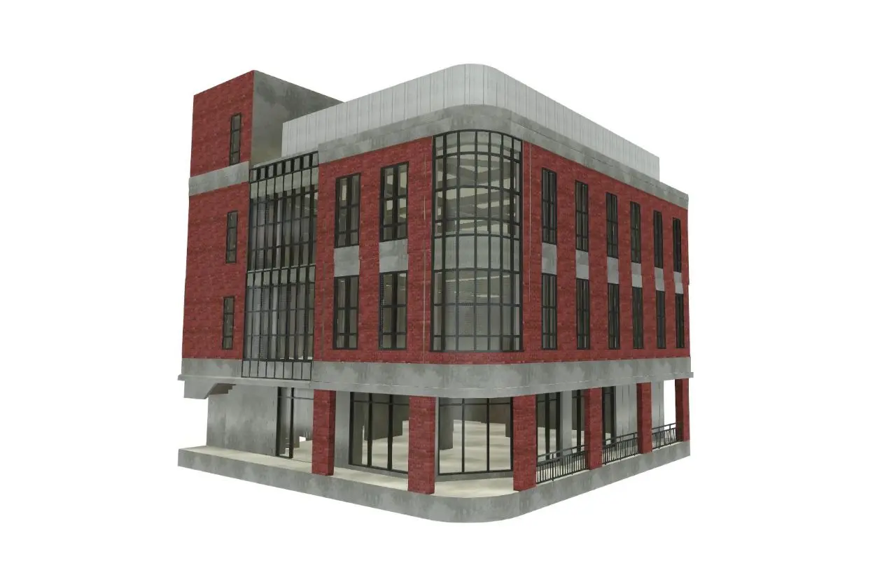
The Star Product: XGRIDS
Revolutionary handheld 3D laser scanning technology
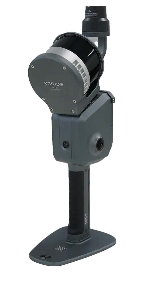
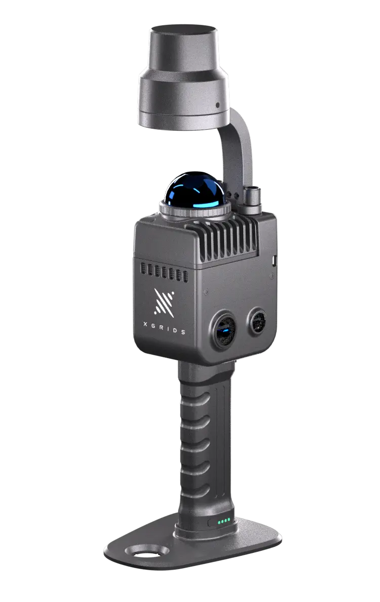
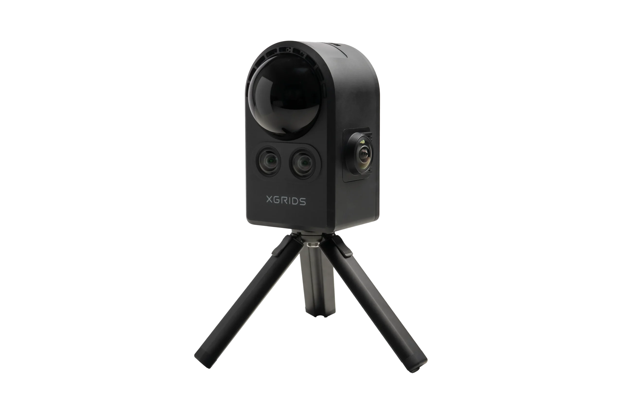
SLAM Technology
Simultaneous Localization and Mapping for accurate real-time positioning and data capture
Real-time 3D
Instant point cloud generation and visualization during scanning operations
No GPS Needed
Perfect for indoor scanning, underground facilities, and GPS-denied environments
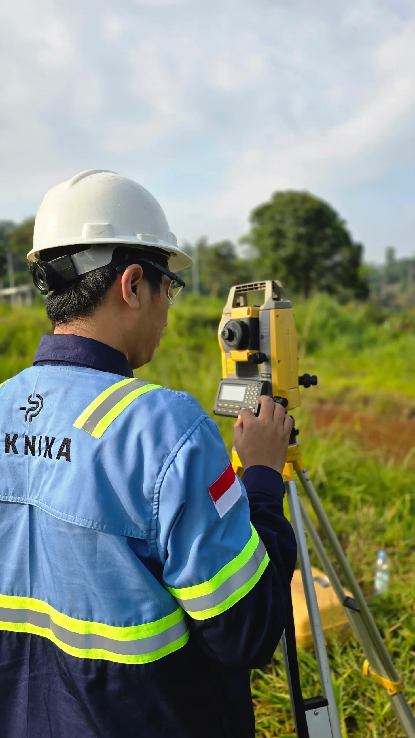
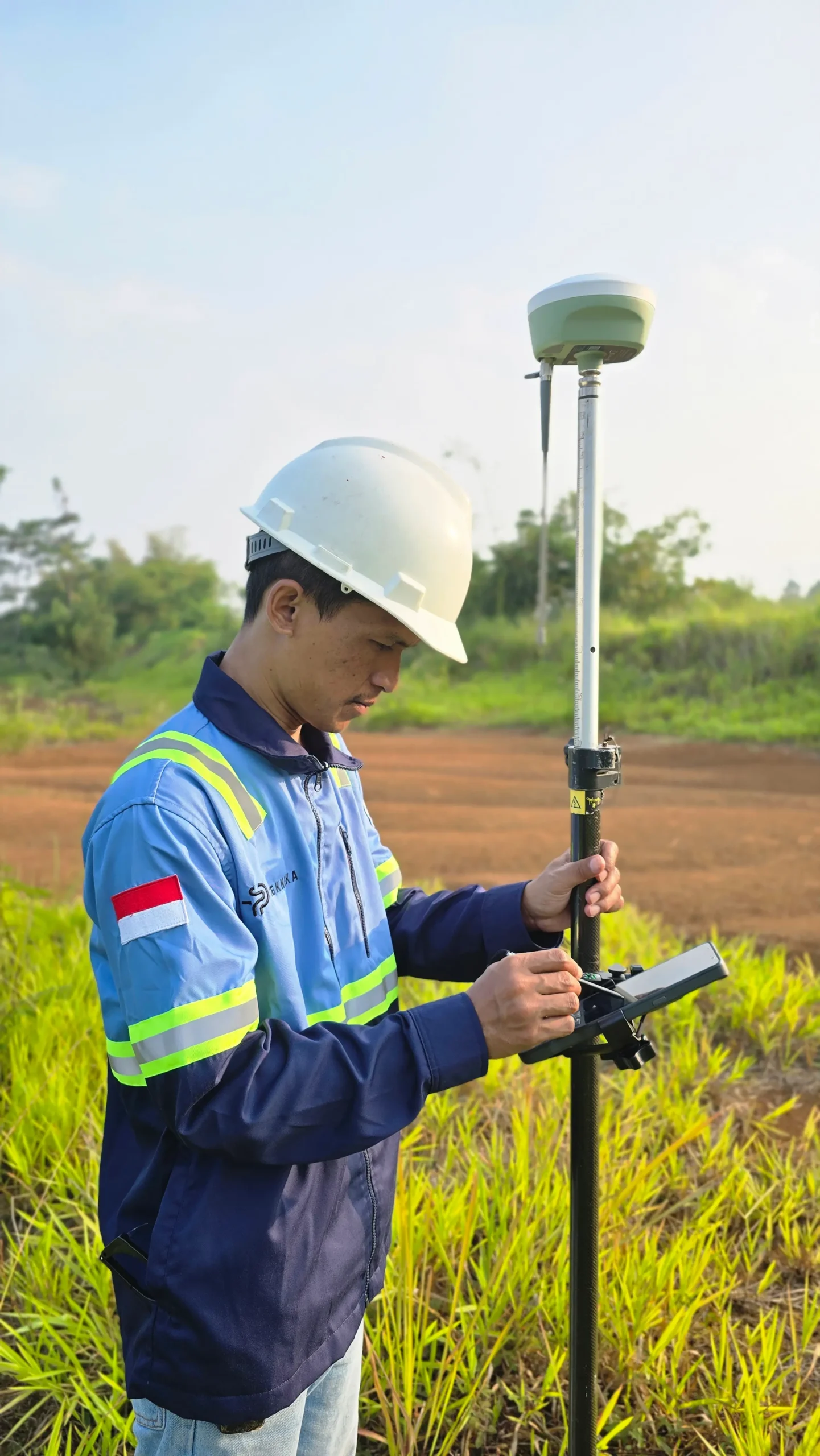
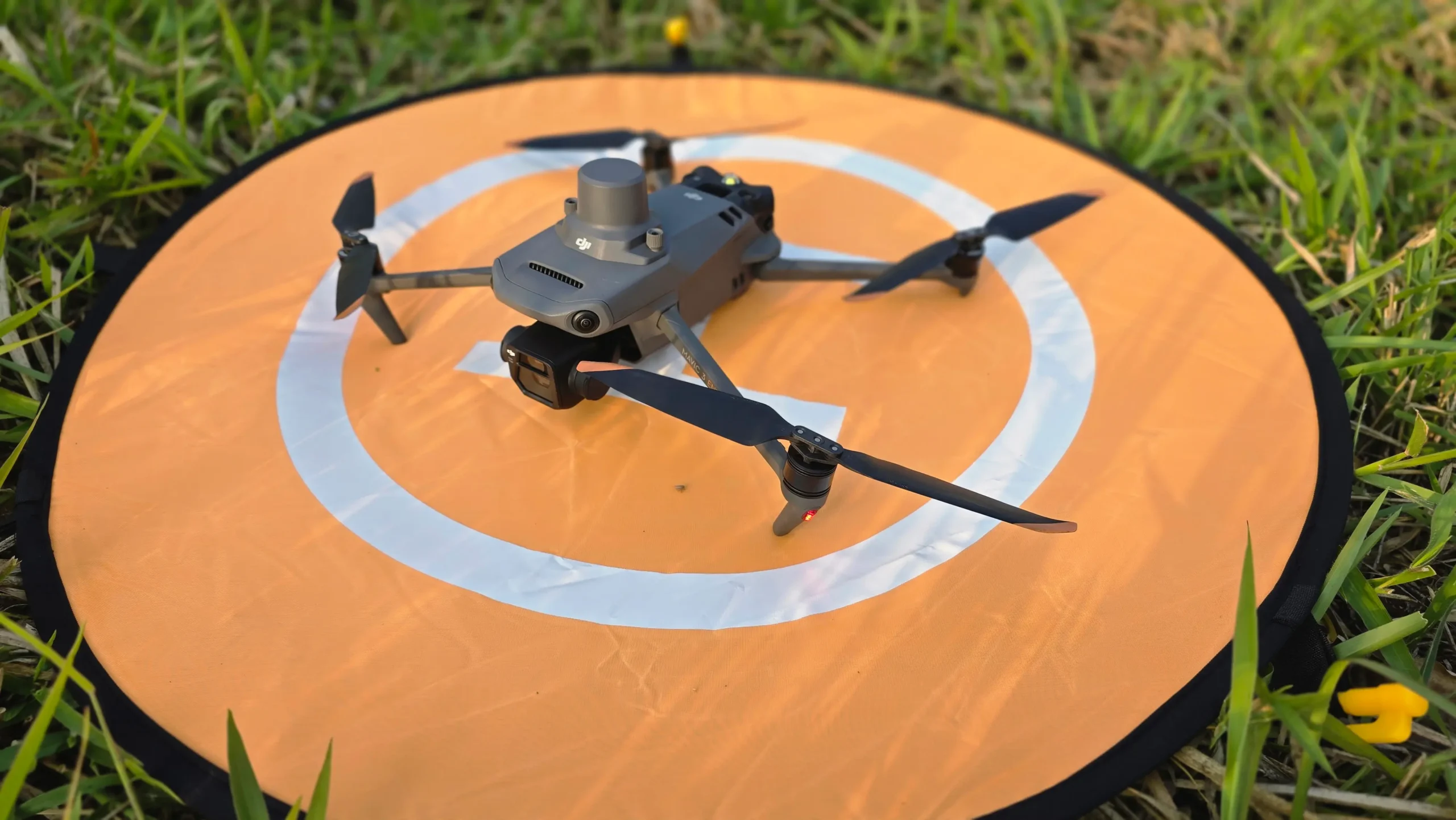
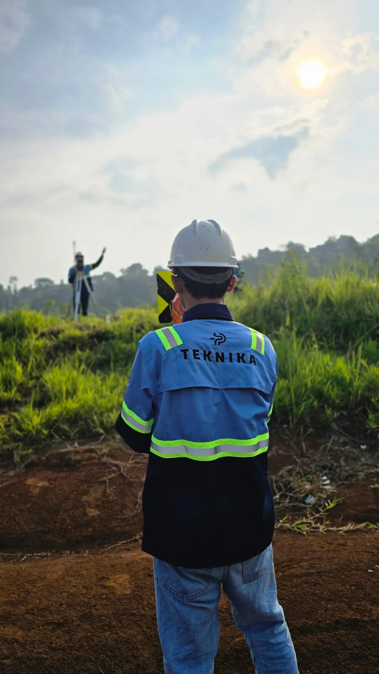
Our Services
Professional surveying solutions tailored to your project needs
About the Company
With over 14 years of expertise in the geospatial industry, Teknika Spasial Persada specializes in delivering high-precision survey and mapping solutions for construction, mining, energy, and infrastructure sectors.
As an authorized XGRIDS reseller in Indonesia, we bring world-class 3D scanning technology to the Indonesian market while maintaining our commitment to professional surveying services and comprehensive equipment rental solutions.
We seamlessly integrate advanced technology with expert insights to provide accurate data and tailored solutions. Our extensive capabilities include Topographic Surveys (Terrestrial, UAV, LiDAR), Bathymetry (SBES & MBES), 3D Modeling, GIS, and manpower provision—making us the reliable strategic partner for your project’s success.

We are dedicated to developing solutions that keep pace with industrial technology trends. Our goal is to meet every client need through innovative, superior quality solutions at competitive rates.
Contact Us
- Jl. A. Yani No.245, Cihapit, Kec. Bandung Wetan, Kota Bandung, Jawa Barat 40114
- survey@teknikaspasial.co.id
- +62811228665