About Us
Geospatial Survey & Mapping Solutions
Modern Technology. Reliable Methods. Expert Results. Building a strong foundation for your projects with professional and cost-effective geospatial services.
Who We Are
An Emerging Force in Geospatial Consulting
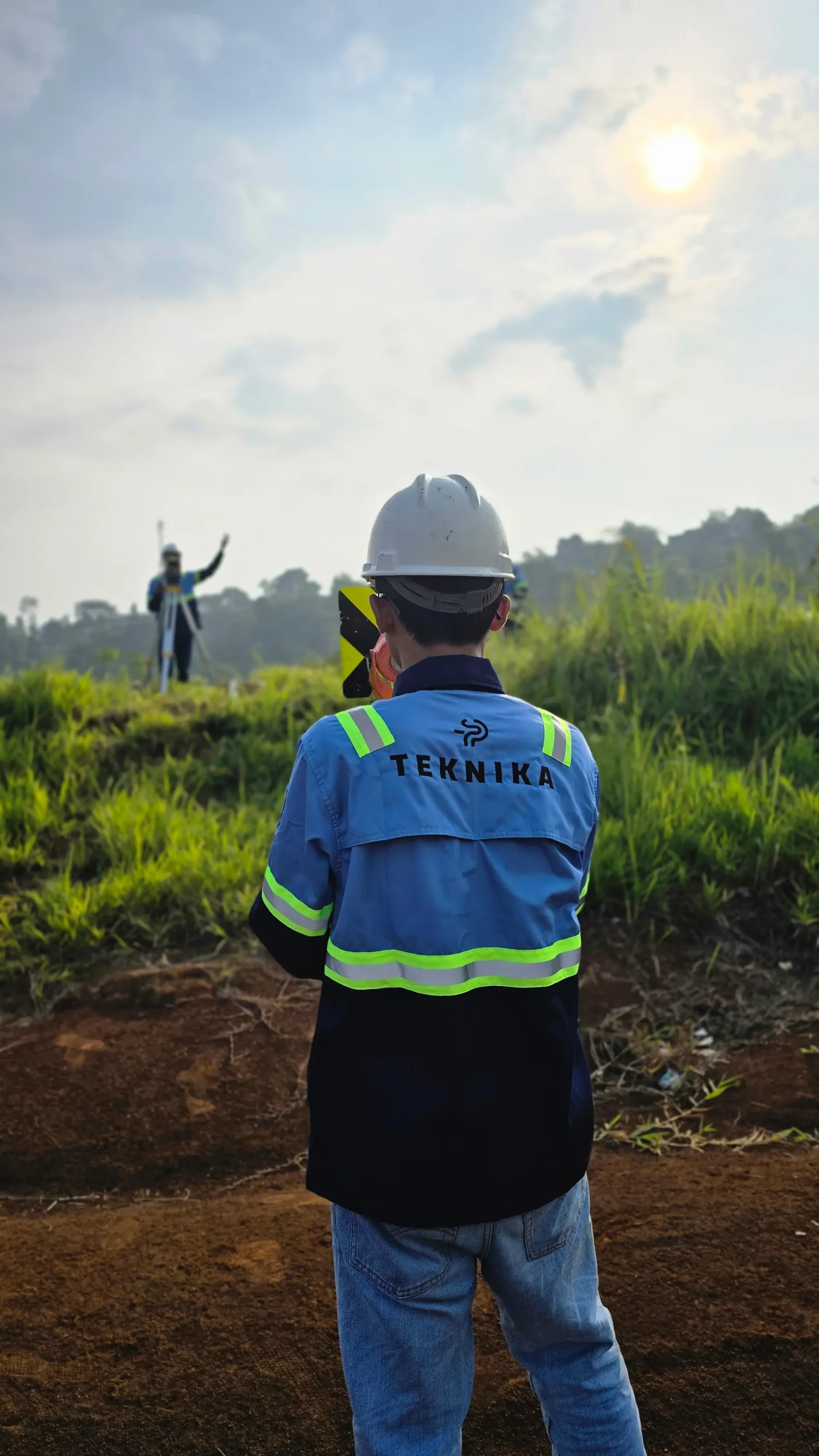
PT Teknika Spasial Persada (TEKNIKA) is an emerging consulting firm in the geospatial industry, dedicated to providing accurate and efficient solutions. We focus on building a strong foundation through the use of modern technology, reliable methods, and client-focused service.
- Terrestrial & Aerial Mapping
- Hydrographic Survey
- Digital Mapping & GIS
Our experts bring extensive experience supporting diverse industries such as mining, oil and gas, renewable energy, forestry, and plantations. This expertise enables us to deliver solutions that meet technical requirements and create positive impacts across industries.
TEKNIKA is committed to delivering professional, high-quality, and cost-conscious services. We aim to grow through long-term partnerships built on trust, innovation, and consistent results.
Our Vision
To be Indonesia’s top geospatial service provider, offering smart, reliable solutions with the latest technology, built on trust, quality, and strong client relationships.
Advanced Technology
Use the latest technology to deliver accurate and timely solutions.
Client First
Put clients first with responsive, honest, and transparent communication.
Professional Integrity
Maintain integrity and professionalism from planning to project delivery.
Trusted Partnership
Build trusted partnerships by meeting client needs fairly and reliably.
Why Partner with TEKNIKA?
Certified Geospatial Experts
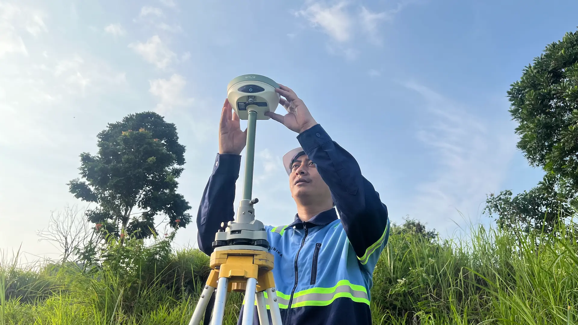
Our team is backed by Level 7 Geospatial Experts certified by LSP, licensed mine surveyors, and certified drone pilots. We guarantee that every data acquisition meets strict national competency standards and industrial safety protocols.
Advanced Tech Integration
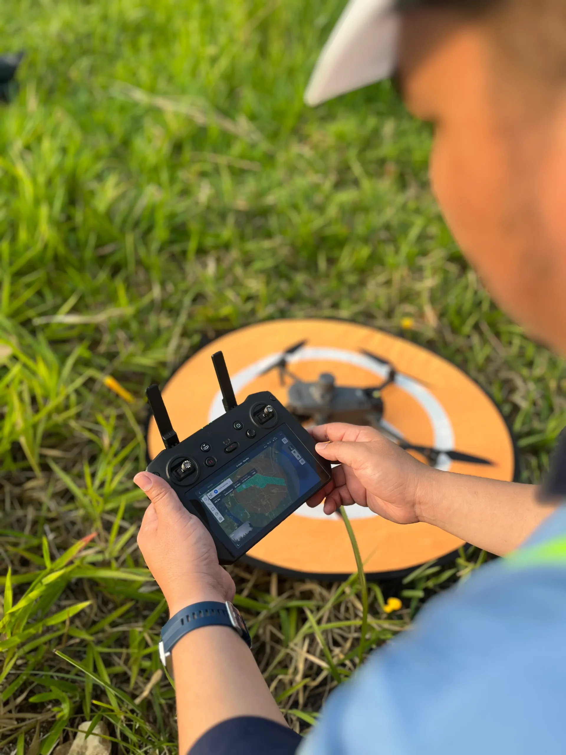
We continuously invest in the latest technology—from UAV LiDAR and Bathymetry sensors to Handheld SLAM XGRIDS. Our modern fleet ensures rapid, precise, and efficient data acquisition across diverse and challenging terrains.
Authorized XGRIDS Reseller
As an authorized XGRIDS reseller in Indonesia, we provide more than just equipment. We offer full technical support, fleet calibration, and official warranty services to ensure you get the best performance from your 3D scanning solutions.
End-to-End Mapping Solutions
One partner for all your spatial needs. We deliver comprehensive solutions ranging from Aerial Photogrammetry and Terrestrial Surveys to Bathymetric Mapping and advanced GIS Analysis.
Proven Industry Experience
Trusted to handle national strategic projects, including asset mapping for Pertamina, powerline monitoring for PLN, and topographic surveys for mining and infrastructure developments in remote areas.
Actionable Spatial Intelligence
We transform raw data into strategic insights. Our deliverables—such as high-precision 3D Models, DTMs, and Asset Maps—are designed to drive accurate, cost-effective, and data-informed decision-making.
Ready to Map Your Project’s Success?
Our experts bring extensive experience supporting diverse industries such as mining, oil and gas, renewable energy, forestry, and plantations. This expertise enables us to deliver solutions that meet technical requirements and create positive impacts across industries.

We are dedicated to developing solutions that keep pace with industrial technology trends. Our goal is to meet every client need through innovative, superior quality solutions at competitive rates.
Contact Us
- Jl. A. Yani No.245, Cihapit, Kec. Bandung Wetan, Kota Bandung, Jawa Barat 40114
- survey@teknikaspasial.co.id
- +62811228665