Our Services
3D Laser Scanning & Reality Capture
Digitizing the Physical World: High-Fidelity Digital Twins for As-Built Documentation and BIM Integration.
From Physical Assets to Digital Precision.
TEKNIKA offers state-of-the-art 3D scanning services to deliver highly accurate and detailed spatial data for diverse applications. We utilize advanced terrestrial and mobile LiDAR systems to precisely capture complex structures, industrial assets, and interior spaces, generating comprehensive 3D point clouds and models.” “Whether for heritage preservation, industrial inspection, or architectural design, our Reality Capture solutions provide the ‘Ground Truth’ needed to streamline project planning and eliminate measurement errors.
Why Choose Teknika?
Millimeter Accuracy
Our terrestrial scanners capture millions of points per second with millimeter-level precision, ensuring exact digital replication of physical assets.
Rapid Mobile Mapping
Using SLAM (Simultaneous Localization and Mapping) technology, we can map complex indoor environments and GPS-denied areas up to 10x faster than traditional methods.
BIM-Ready Deliverables
We don't just give you dots. We convert raw Point Clouds into clean 3D Models (Revit/CAD) ready for immediate use in your design workflow.
Our Reality Capture Methodologies
Static Terrestrial Laser Scanning (TLS)
High-fidelity scanning using tripod-mounted scanners. Ideal for industrial plant piping, structural deformation monitoring, and heritage documentation where maximum precision is required.
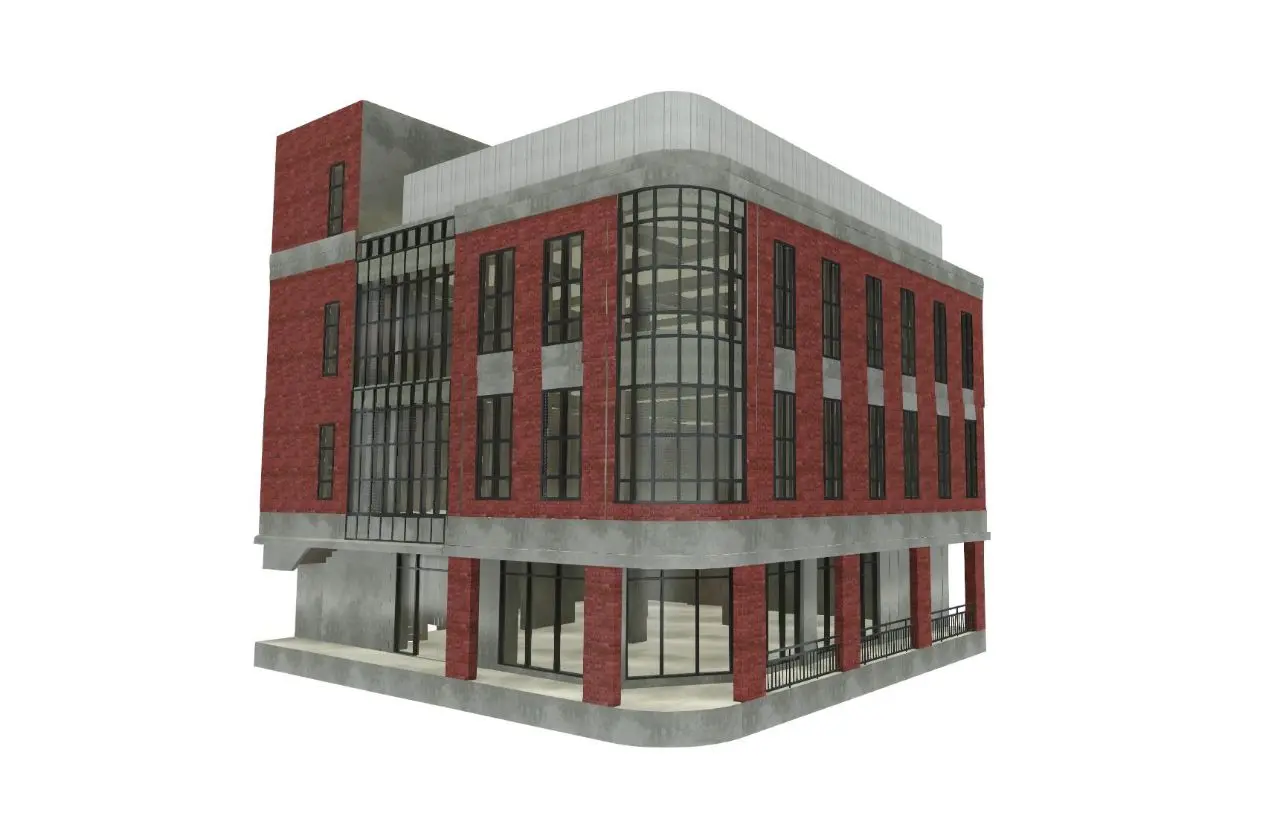
Scan-to-BIM
The process of modeling 3D geometry from point cloud data. We deliver As-Built BIM models (LOD 200–500) that reflect the actual existing conditions of the building, not just the design intent.
Mobile SLAM Mapping (Handheld)
Versatile handheld scanning that allows operators to walk through a site, capturing geometry in real-time. Perfect for multi-room buildings, underground mines, and areas without GPS signals.
Digital Twin Creation
Merging 3D data with asset information to create a virtual replica of your facility for remote inspection, facility management, and virtual tours.
Industries we Serve
Architecture & Interior
As-built floor plans and renovation planning.
Heritage Preservation
Digital archiving of historical sites and artifacts.
Industrial Plant
Clash detection for piping and equipment upgrades.
Construction Monitoring
Verifying construction progress against design models.
Ready to Map Your Project’s Success?
Our experts bring extensive experience supporting diverse industries such as mining, oil and gas, renewable energy, forestry, and plantations. This expertise enables us to deliver solutions that meet technical requirements and create positive impacts across industries.

We are dedicated to developing solutions that keep pace with industrial technology trends. Our goal is to meet every client need through innovative, superior quality solutions at competitive rates.
Contact Us
- Jl. A. Yani No.245, Cihapit, Kec. Bandung Wetan, Kota Bandung, Jawa Barat 40114
- survey@teknikaspasial.co.id
- +62811228665