Our Services
Your Complete Geospatial Partner.
Whether on land, at sea, or indoors—we provide the critical data you need to plan, build, and manage your assets with confidence.
All Services
01
Precision Positioning & Engineering Survey
High-precision terrestrial surveys for boundary determination, construction stake-out, and situational mapping using advanced GNSS RTK and Total Station technology.
- Construction Stake-out
- Boundary Determination
- GCP & ICP Installation
Explore Service →
02
Aerial & Terrestrial Topography
Large-scale land mapping using UAV photogrammetry to generate accurate Digital Terrain Models (DTM), contour maps, and orthophotos for development analysis.
- UAV Photogrammetry
- Contour & DTM Generation
- Large-Scale Land Mapping
Explore Service →
03
3D Laser Scanning & Reality Capture
Advanced documentation using Terrestrial and Mobile LiDAR (SLAM) to create precise digital twins and 3D models for architecture and asset management.
- Handheld SLAM Technology
- BIM & Interior Modelling
- High-Density Point Cloud
Explore Service →
04
Hydrographic & Bathymetry Survey
Precise underwater mapping using Single-beam and Multi-beam Echosounders to support jetty construction, dredging, and marine infrastructure planning.
- Underwater Topographic Modeling
- Jetty & Port Planning Support
- Sediment & Current Analysis
Explore Service →
Ready to Map Your Project’s Success?
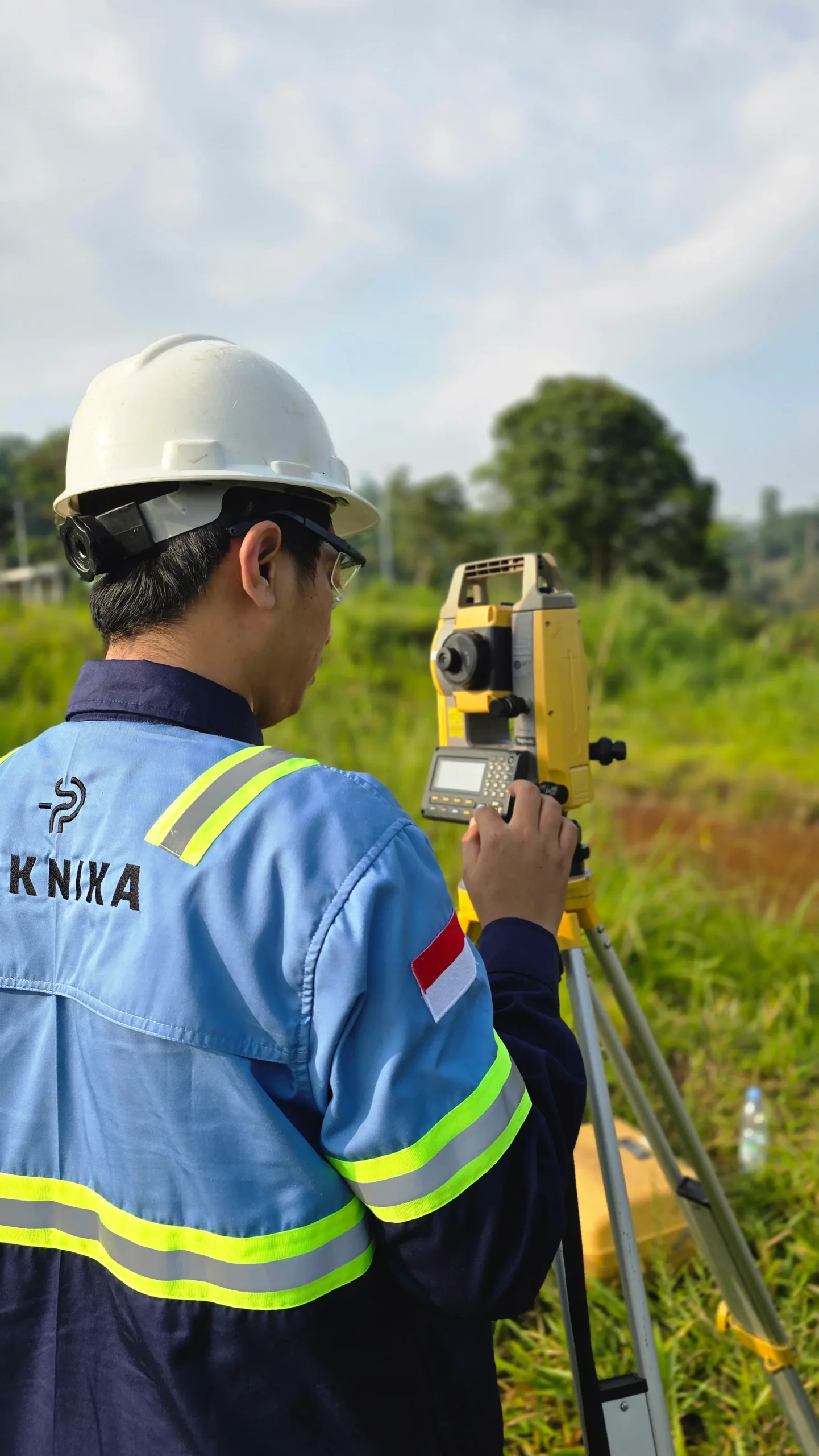
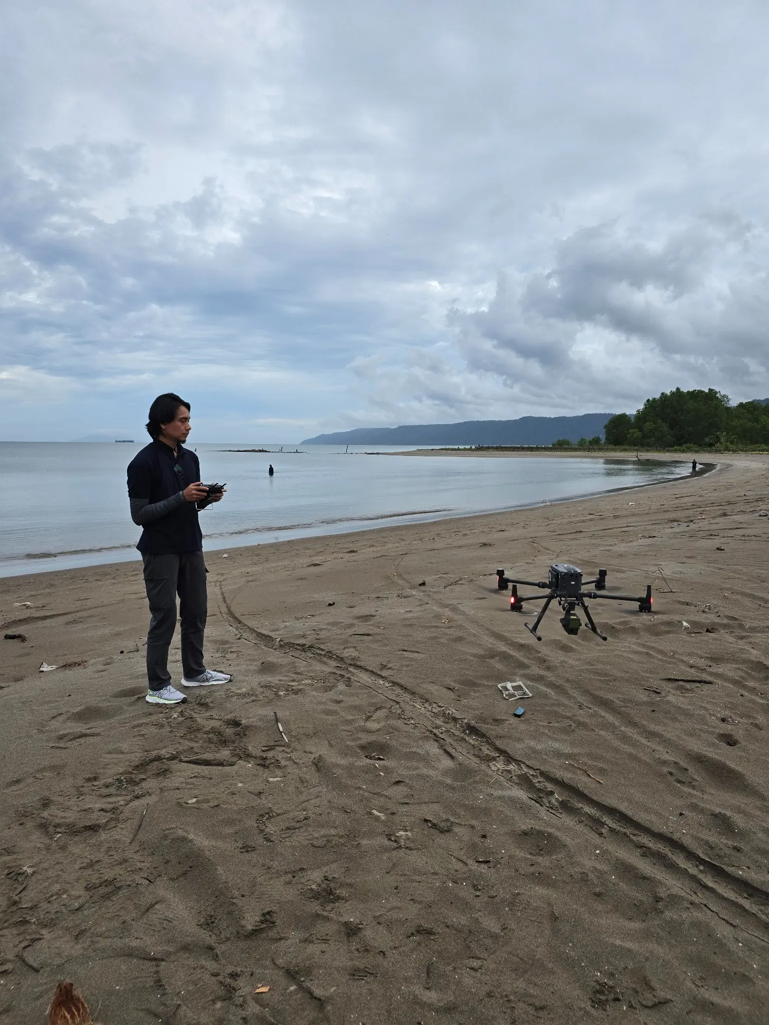
Our experts bring extensive experience supporting diverse industries such as mining, oil and gas, renewable energy, forestry, and plantations. This expertise enables us to deliver solutions that meet technical requirements and create positive impacts across industries.
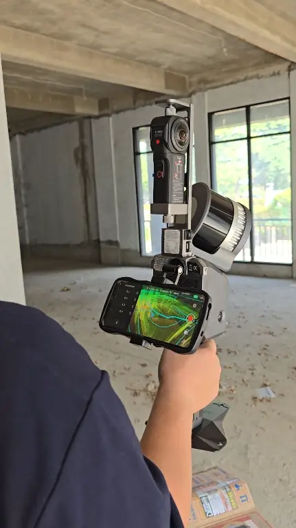
We are dedicated to developing solutions that keep pace with industrial technology trends. Our goal is to meet every client need through innovative, superior quality solutions at competitive rates.
Contact Us
- Jl. A. Yani No.245, Cihapit, Kec. Bandung Wetan, Kota Bandung, Jawa Barat 40114
- survey@teknikaspasial.co.id
- +62811228665