Our Services
Hydrographic & Bathymetry Survey
Mapping the Unknown Beneath the Surface: Precision Data for Ports, Jetties, and Marine Infrastructure.
Comprehensive Underwater Mapping Solutions.
TEKNIKA provides industry-leading bathymetry survey services, delivering precise underwater mapping solutions for marine and freshwater environments. We go beyond simple depth measurement; we analyze the entire underwater column.” “Using advanced technologies such as Multi-beam (MBES) and Single-beam (SBES) echosounders, alongside Unmanned Surface Vehicles (USV), we capture high-resolution depth data to create accurate underwater topographic models essential for engineering and navigation.
Why Choose Teknika?
Advanced Fleet & Equipment
Deployment of manned survey boats and autonomous USVs equipped with GNSS RTK and Sonar for efficient data acquisition in both deep seas and shallow coastal waters.
Hydrodynamic Analysis
We don't just map the bottom. We characterize the water body through tidal observations, ocean current measurement, and sediment sampling.
Engineering-Ready Data
Our data is processed to determine critical reference elevations (HHWL/LLWL), supporting the technical design of jetties, ports, and dredging operations.
Our Survey Methodologies
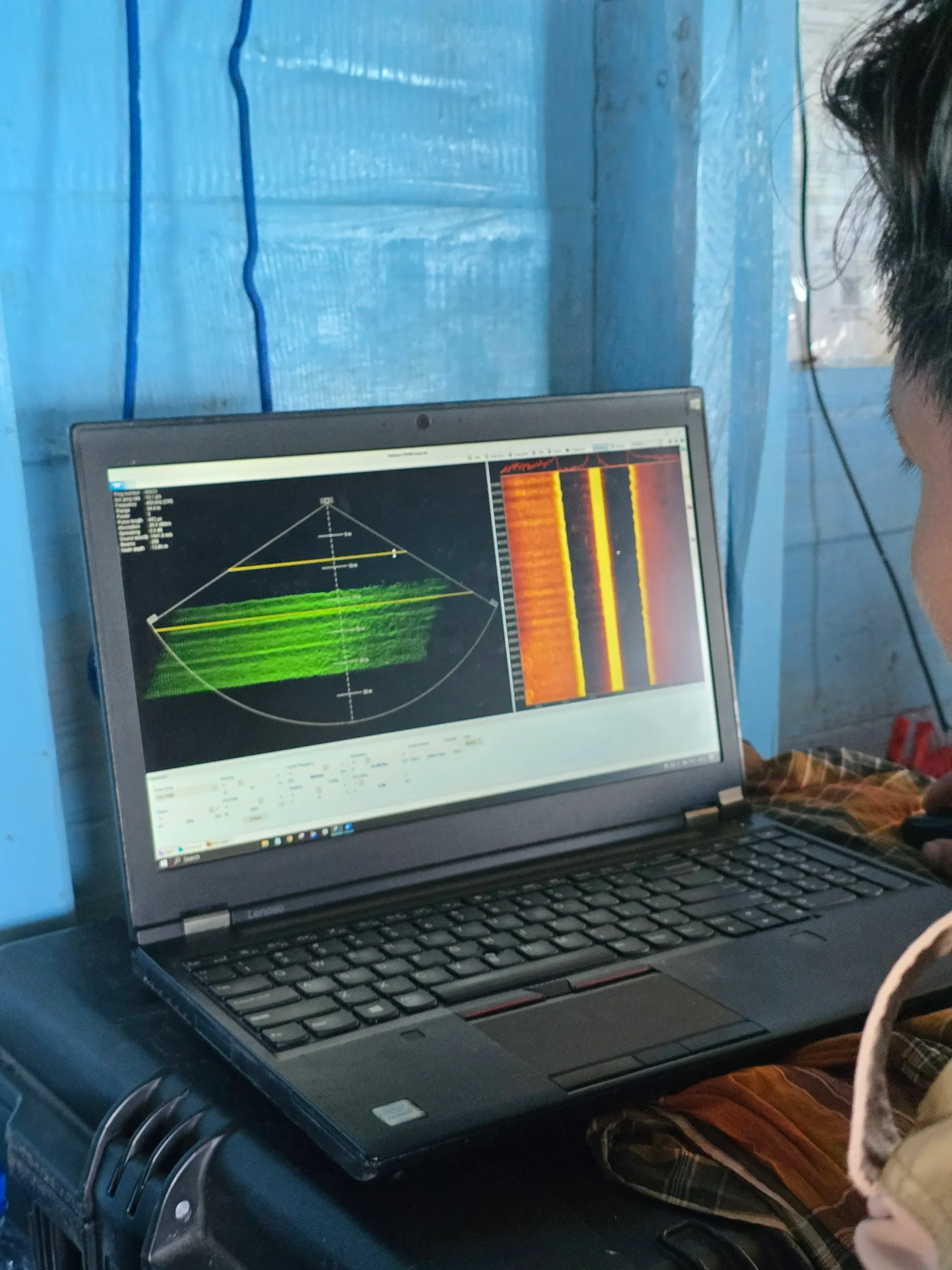
Bathymetric Sounding (SBES & MBES)
Depth measurement using Single-beam or Multi-beam Echosounders integrated with GNSS RTK positioning. This captures the seabed topography with high precision.
Unmanned Surface Vehicle (USV) Deployment
Utilization of remote-controlled boats for surveying hazardous areas, shallow lagoons, or tailings ponds where manned boats cannot operate safely.
Tidal & Current Observation
Observation of water level fluctuations to determine tidal datums (High/Low Water Levels). We also measure ocean current direction and speed to identify navigational conditions.
Seabed Sediment Sampling
Physical sampling of the seabed using Grabber tools to analyze sediment characteristics. This is crucial for designing pile foundations for jetties and bridges.
Industries we Serve
Port & Harbor Development
Planning for jetties, wharves, and breakwaters.
Offshore Infrastructure
Route surveys for pipelines and underwater cables.
Dredging Operations
Pre-dredge and post-dredge surveys to calculate volume.
Mining (Tailings & Transport)
Monitoring underwater sedimentation and shipping lanes.
Ready to Map Your Project’s Success?
Our experts bring extensive experience supporting diverse industries such as mining, oil and gas, renewable energy, forestry, and plantations. This expertise enables us to deliver solutions that meet technical requirements and create positive impacts across industries.

We are dedicated to developing solutions that keep pace with industrial technology trends. Our goal is to meet every client need through innovative, superior quality solutions at competitive rates.
Contact Us
- Jl. A. Yani No.245, Cihapit, Kec. Bandung Wetan, Kota Bandung, Jawa Barat 40114
- survey@teknikaspasial.co.id
- +62811228665