Layanan Spasial Terbaik

Kami menyediakan solusi survei dan pemetaan yang akurat untuk perencanaan dan pembangunan yang berkelanjutan.

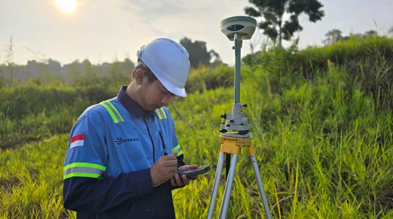
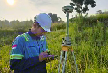
Survei PENENTUAN POSISI

Layanan pengukuran posisi akurat yang menjadi dasar untuk pemetaan, konstruksi, eksplorasi
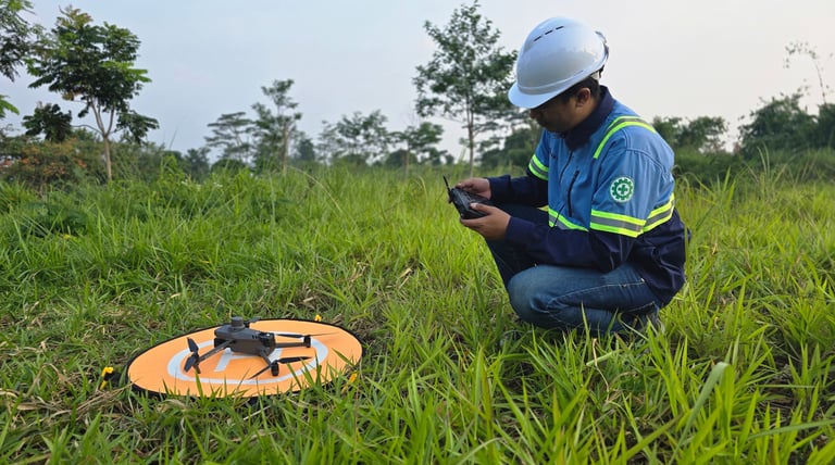
SURVEI TOPOGRAFI

Layanan pengukuran dan pemetaan permukaan bumi untuk menghasilkan informasi detail mengenai bentuk lahan, ketinggian, dan fitur-fitur lainnya, baik alami maupun buatan.
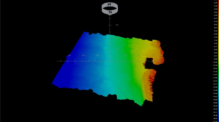
SURVEI BATIMETRI

Pemetaan dasar perairan untuk mendukung proyek pelabuhan, reklamasi, bendungan, dan eksplorasi sumber daya air.

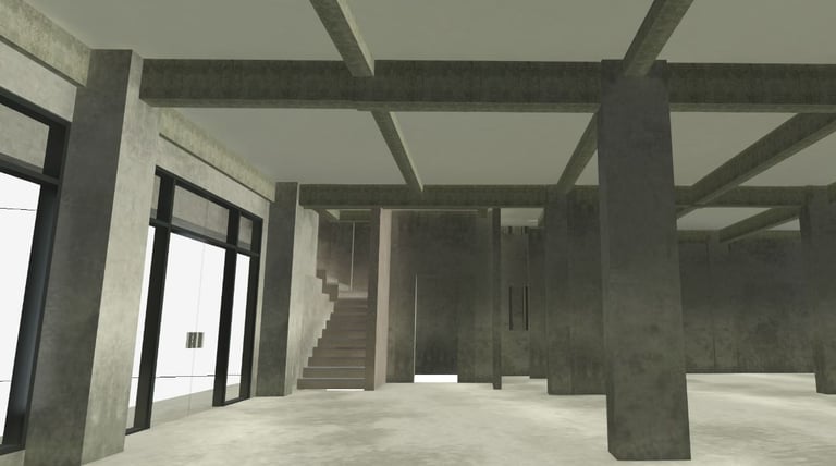
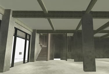
3D SCANNING & MODELLING

Transformasi objek nyata ke model digital presisi untuk dokumentasi, inspeksi, atau desain ulang.

Proyek Kami

Kami menyediakan solusi data spasial yang akurat dan andal.

A black and white photograph of a close-up hand holding a detailed topographical map. The map displays contour lines, bodies of water, and textual labels of locations such as Thayer Lake. The background is blurred, suggesting the photo was taken inside a vehicle.
Layanan Survei

Survei topografi dan pemetaan digital untuk perencanaan yang efektif.

A hand holds a portable GPS device displaying a map. The device shows navigation buttons and the brand name 'TwoNav'. The background is blurred, suggesting outdoor surroundings.
Konsultasi Geospasial

Kami menawarkan konsultasi geospasial untuk mendukung pengambilan keputusan yang tepat.

Layanan survei dan pemetaan yang sangat akurat, membantu kami dalam perencanaan yang efektif.

Budi Santoso

A map is spread out on sandy ground, surrounded by two people with hiking boots and one visible arm. The setting suggests planning or navigating during an outdoor adventure.
A smartphone displaying a digital map is being held by a hand, while another hand points to a specific location on the screen. Additional hands are partially visible, suggesting collaborative navigation or decision-making.

★★★★★